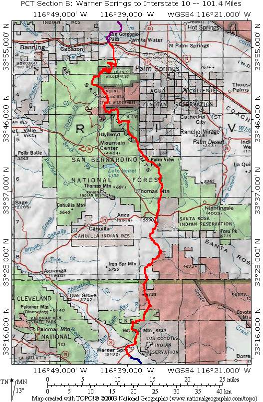
PCT Section B
Warner Springs, CA. to Interstate 10 in San Gorgonio Pass
101.4 Miles
Section B begins at the Southern most leg of the loop of Highway 79 that runs through Warner Springs, CA. The trail heads predominately North and clips the Northwest corner of the Anza-Borrego Desert State Park. It continues due North and enters the San Bernardino National Forest and climbs into the San Bernardino Mountains taking a Northwesterly direction to pass just East of the town of Idyllwild, CA. After Idyllwild, the trail continues Northwest and reaches its highest point in this section at 9030 feet and passes through the Mount San Jacinto State Wildness and then swings back Northeast via numerous long switchbacks to descend to its lowest point of 1190 feet as it crosses under Interstate 10 in San Gorgonio Pass. Pictures of Section B are divided into the categories shown below. Click on the links and use your Browsers Back Button for navigation.