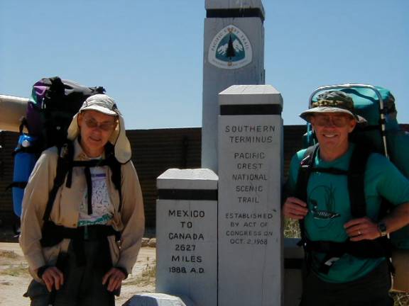
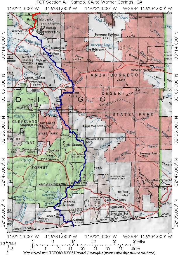
PCT Section A
Campo, CA to Warner Springs, CA.
110.6 Miles
Section A begins at the Mexican Border and heads North ending near Warner Springs, CA. It runs along the Eastern edge of the Southern portion of the Cleveland National Forest in the Laguna Mountains and dips down to run along the Western edge of the Anza-Borrego Desert State Park. It then twists, turns and “undulates” in the San Felipe Hills before crossing Highway 79 at Warner Springs. Pictures of Section A are divided into the categories shown below. Click on the links and use your Browsers Back Button for navigation.